
Runcadic - Runggaditsch - Roncadizza topographic map
Interactive map
Click on the map to display elevation.
About this map
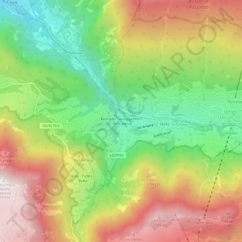
Name: Runcadic - Runggaditsch - Roncadizza topographic map, elevation, terrain.
Average elevation: 4,987 ft
Minimum elevation: 3,123 ft
Maximum elevation: 7,110 ft