
SK Nanga Merit topographic map
Interactive map
Click on the map to display elevation.
About this map
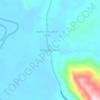
Name: SK Nanga Merit topographic map, elevation, terrain.
Location: SK Nanga Merit, Limbang, Limbang Division, Sarawak, Malaysia (4.51233 114.86610 4.55233 114.90610)
Average elevation: 161 ft
Minimum elevation: 0 ft
Maximum elevation: 1,358 ft
Other topographic maps
Click on a map to view its topography, its elevation and its terrain.
Kampung Merasam Parit
Kampung Merasam Parit, Limbang, Limbang Division, Sarawak, Malaysia
Average elevation: 105 ft