
Shakertown topographic map
Interactive map
Click on the map to display elevation.
About this map
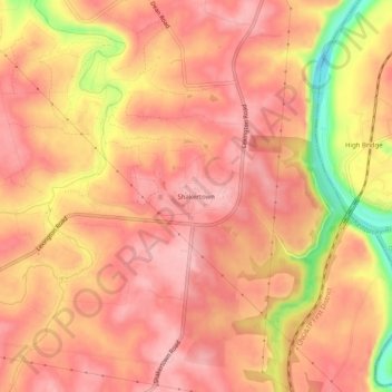
Name: Shakertown topographic map, elevation, terrain.
Location: Shakertown, Mercer County, Kentucky, United States (37.79897 -84.75995 37.83897 -84.71995)
Average elevation: 827 ft
Minimum elevation: 476 ft
Maximum elevation: 958 ft