
Lechquellengebirge topographic map
Interactive map
Click on the map to display elevation.
About this map
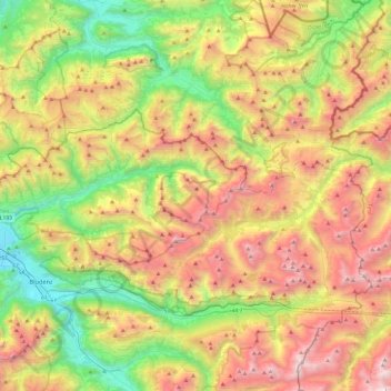
Name: Lechquellengebirge topographic map, elevation, terrain.
Location: Lechquellengebirge, Sonntag, Bludenz, Vorarlberg, Österreich (47.12238 9.73504 47.32500 10.20835)
Average elevation: 5,141 ft
Minimum elevation: 1,745 ft
Maximum elevation: 9,685 ft