
Corswarem topographic map
Interactive map
Click on the map to display elevation.
About this map
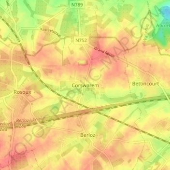
Name: Corswarem topographic map, elevation, terrain.
Location: Corswarem, Berloz, Waremme, Liège, Wallonia, 4257, Belgium (50.68957 5.19315 50.72957 5.23315)
Average elevation: 404 ft
Minimum elevation: 285 ft
Maximum elevation: 459 ft
Other topographic maps
Click on a map to view its topography, its elevation and its terrain.