
Kadınhanı topographic map
Interactive map
Click on the map to display elevation.
About this map
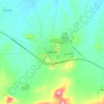
Name: Kadınhanı topographic map, elevation, terrain.
Location: Kadınhanı, Konya, Central Anatolia Region, Turkey (38.20005 32.17221 38.28005 32.25221)
Average elevation: 3,635 ft
Minimum elevation: 3,425 ft
Maximum elevation: 4,327 ft