
Johnstown East topographic map
Interactive map
Click on the map to display elevation.
About this map
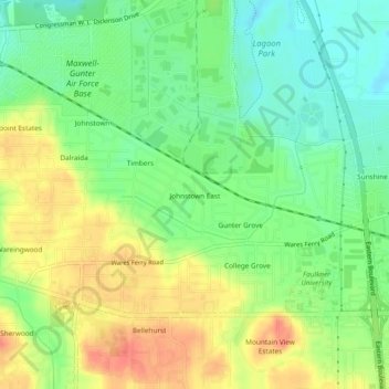
Name: Johnstown East topographic map, elevation, terrain.
Average elevation: 240 ft
Minimum elevation: 161 ft
Maximum elevation: 328 ft
Other topographic maps
Click on a map to view its topography, its elevation and its terrain.
Cloverland
United States > Alabama > Montgomery County > Montgomery
Cloverland, Montgomery, Montgomery County, Alabama, 36104, United States
Average elevation: 220 ft
Landmarks
United States > Alabama > Montgomery County > Montgomery > Landmarks
Landmarks, Montgomery, Montgomery County, Alabama, 36119, United States
Average elevation: 236 ft