
人和镇 topographic map
Interactive map
Click on the map to display elevation.
About this map
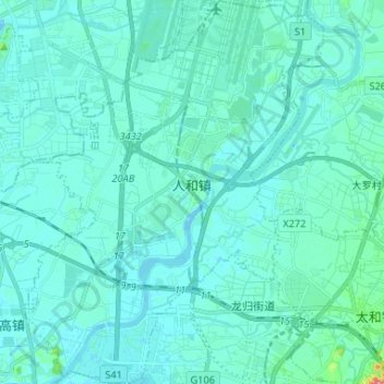
Name: 人和镇 topographic map, elevation, terrain.
Location: 人和镇, District de Baiyun, Canton, Guangdong, Chine (23.27448 113.23601 23.39464 113.33797)
Average elevation: 36 ft
Minimum elevation: -7 ft
Maximum elevation: 374 ft