
Pedro Escobedo topographic map
Interactive map
Click on the map to display elevation.
About this map
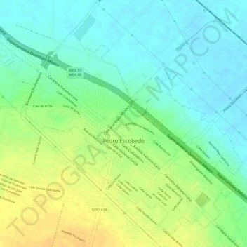
Name: Pedro Escobedo topographic map, elevation, terrain.
Location: Pedro Escobedo, Querétaro, México (20.49091 -100.15904 20.51510 -100.13030)
Average elevation: 6,276 ft
Minimum elevation: 6,230 ft
Maximum elevation: 6,329 ft