
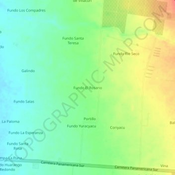
Fundo El Rosario topographic map
Interactive map
Click on the map to display elevation.
About this map
Name: Fundo El Rosario topographic map, elevation, terrain.
Location: Fundo El Rosario, Salas, Ica, Perú (-13.93540 -75.91313 -13.89540 -75.87313)
Average elevation: 1,220 ft
Minimum elevation: 1,152 ft
Maximum elevation: 1,316 ft