
Wachtum topographic map
Interactive map
Click on the map to display elevation.
About this map
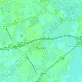
Name: Wachtum topographic map, elevation, terrain.
Location: Wachtum, Coevorden, Drente, Niederlande (52.71207 6.70857 52.74273 6.78152)
Average elevation: 43 ft
Minimum elevation: 30 ft
Maximum elevation: 62 ft
Other topographic maps
Click on a map to view its topography, its elevation and its terrain.
Diphoorn
Niederlande > Drente > Coevorden
Diphoorn, Coevorden, Drente, Niederlande
Average elevation: 56 ft