
Carluke topographic map
Interactive map
Click on the map to display elevation.
About this map
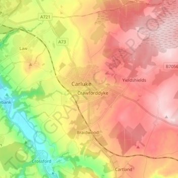
Name: Carluke topographic map, elevation, terrain.
Location: Carluke, South Lanarkshire, Schotland, ML8, VK (55.69190 -3.87211 55.77190 -3.79211)
Average elevation: 643 ft
Minimum elevation: 118 ft
Maximum elevation: 1,050 ft