
Rodez topographic map
Interactive map
Click on the map to display elevation.
About this map
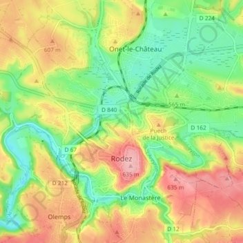
Name: Rodez topographic map, elevation, terrain.
Location: Rodez, Aveyron, Occitânia, França metropolitana, 12000, França (44.34053 2.53335 44.37766 2.60642)
Average elevation: 1,860 ft
Minimum elevation: 1,647 ft
Maximum elevation: 2,119 ft