
La Cavada topographic map
Interactive map
Click on the map to display elevation.
About this map
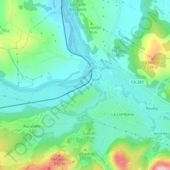
Name: La Cavada topographic map, elevation, terrain.
Location: La Cavada, Trasmiera, Cantabria, 39720, España (43.34263 -3.71027 43.35547 -3.69440)
Average elevation: 361 ft
Minimum elevation: 141 ft
Maximum elevation: 1,001 ft