
Wheeler Junction topographic map
Interactive map
Click on the map to display elevation.
About this map
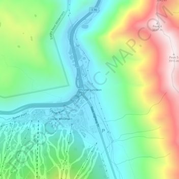
Name: Wheeler Junction topographic map, elevation, terrain.
Location: Wheeler Junction, Summit County, Colorado, USA (39.48680 -106.16098 39.52680 -106.12098)
Average elevation: 10,686 ft
Minimum elevation: 9,662 ft
Maximum elevation: 12,861 ft