Geolocate

Killian topographic map

Click on the map to display elevation.

About this map

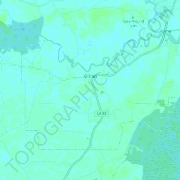
Name: Killian topographic map, elevation, terrain.

Location: Killian, Livingston Parish, Louisiana, United States (30.32900 -90.61862 30.37737 -90.53385)

Average elevation: 13 ft

Minimum elevation: 7 ft

Maximum elevation: 30 ft

Louisiana trails, hiking, mountain biking, running and outdoor activities

Gear up for your next adventure:

🌧️Backpack Rain Cover - Keep gear dry in wet weather
🦟Ultrasonic Repellers - Create a bug-free zone at your camp or rest stop
🔌USB Car Charger - Car charger for on‑the‑go power needs
🧭Outdoor Navigation Book - Learn advanced navigation skills
📡GPS Antenna Upgrade - Enhance GPS reception in remote terrain

As an Amazon Associate, this site earns from qualifying purchases at no extra cost to you.