
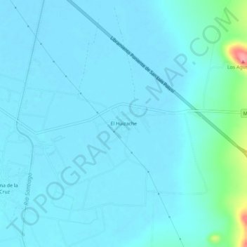
El Huizache topographic map
Interactive map
Click on the map to display elevation.
About this map
Name: El Huizache topographic map, elevation, terrain.
Average elevation: 6,040 ft
Minimum elevation: 6,010 ft
Maximum elevation: 6,325 ft
Other topographic maps
Click on a map to view its topography, its elevation and its terrain.
Colonia Bugambilias
México > San Luis Potosí > Soledad de Graciano Sánchez
Colonia Bugambilias, Soledad de Graciano Sánchez, San Luis Potosí, 78436, México
Average elevation: 6,093 ft
Parque Agua Azul
México > San Luis Potosí > Soledad de Graciano Sánchez
Parque Agua Azul, Colonia Foresta de Tequis, Soledad de Graciano Sánchez, San Luis Potosí, 78438, México
Average elevation: 6,066 ft
Soledad de Graciano Sánchez
México > San Luis Potosí > Soledad de Graciano Sánchez
Soledad de Graciano Sánchez, San Luis Potosí, 78430, México
Average elevation: 6,076 ft