
Istreelva topographic map
Interactive map
Click on the map to display elevation.
About this map
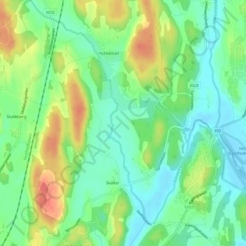
Name: Istreelva topographic map, elevation, terrain.
Location: Istreelva, Hem, Larvik, Vestfold og Telemark, 3231, Norvège (59.06911 10.16903 59.09126 10.20577)
Average elevation: 72 ft
Minimum elevation: -3 ft
Maximum elevation: 184 ft