
Parque Granjas Banthi topographic map
Interactive map
Click on the map to display elevation.
About this map
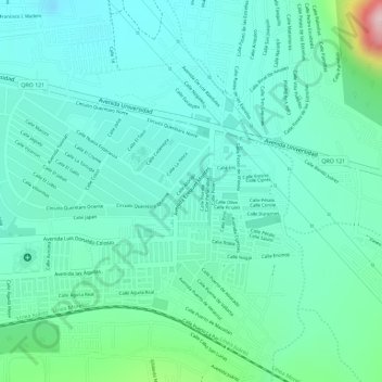
Name: Parque Granjas Banthi topographic map, elevation, terrain.
Average elevation: 6,581 ft
Minimum elevation: 6,358 ft
Maximum elevation: 7,365 ft
Other topographic maps
Click on a map to view its topography, its elevation and its terrain.
Cerro Gordo
México > Querétaro > San Juan del Río > San Juan del Río
Cerro Gordo, San Juan del Río, Querétaro, 76830, México
Average elevation: 6,736 ft