
Givat Avni topographic map
Interactive map
Click on the map to display elevation.
About this map
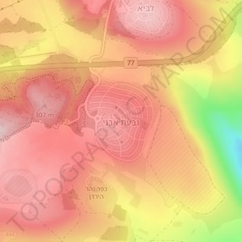
Name: Givat Avni topographic map, elevation, terrain.
Average elevation: 810 ft
Minimum elevation: 243 ft
Maximum elevation: 1,053 ft
Other topographic maps
Click on a map to view its topography, its elevation and its terrain.
Karnei Hittin
Israel > North District > Galil Tachton Regional Council
Karnei Hittin, Galil Tachton Regional Council, Kinneret Subdistrict, North District, Israel
Average elevation: 489 ft