
Refugi Josep Maria Blanc topographic map
Interactive map
Click on the map to display elevation.
About this map
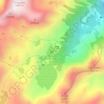
Name: Refugi Josep Maria Blanc topographic map, elevation, terrain.
Average elevation: 7,986 ft
Minimum elevation: 6,480 ft
Maximum elevation: 9,383 ft