
Untereuerheim topographic map
Interactive map
Click on the map to display elevation.
About this map
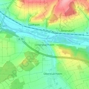
Name: Untereuerheim topographic map, elevation, terrain.
Average elevation: 820 ft
Minimum elevation: 679 ft
Maximum elevation: 1,093 ft
Other topographic maps
Click on a map to view its topography, its elevation and its terrain.
Schonungen
Duitsland > Beieren > Landkreis Schweinfurt
Schonungen, Landkreis Schweinfurt, Beieren, 97453, Duitsland
Average elevation: 1,066 ft