
Sagara topographic map
Interactive map
Click on the map to display elevation.
About this map
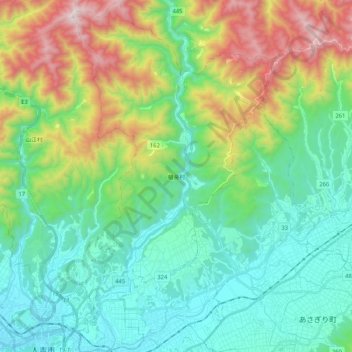
Name: Sagara topographic map, elevation, terrain.
Location: Sagara, Kuma County, Kumamoto Prefecture, 868-0094, Japan (32.20437 130.77770 32.37918 130.89941)
Average elevation: 1,385 ft
Minimum elevation: 305 ft
Maximum elevation: 4,163 ft