
Champex topographic map
Interactive map
Click on the map to display elevation.
About this map
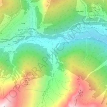
Name: Champex topographic map, elevation, terrain.
Location: Champex, Aosta Valley, Italy (45.79533 7.17778 45.83533 7.21778)
Average elevation: 5,886 ft
Minimum elevation: 4,163 ft
Maximum elevation: 8,691 ft