
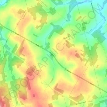
Greenvale topographic map
Interactive map
Click on the map to display elevation.
About this map
Name: Greenvale topographic map, elevation, terrain.
Location: Greenvale, Queens County, Prince Edward Island, Canada (46.32076 -63.34470 46.36154 -63.28677)
Average elevation: 177 ft
Minimum elevation: 20 ft
Maximum elevation: 328 ft