
Skibotn topographic map
Interactive map
Click on the map to display elevation.
About this map
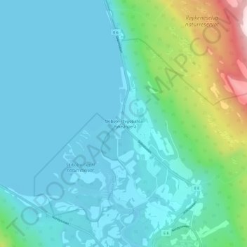
Name: Skibotn topographic map, elevation, terrain.
Location: Skibotn, Storfjord, Troms og Finnmark, 9143, Norwegen (69.37128 20.24789 69.41128 20.28789)
Average elevation: 272 ft
Minimum elevation: -10 ft
Maximum elevation: 1,591 ft