
Imelda topographic map
Interactive map
Click on the map to display elevation.
About this map
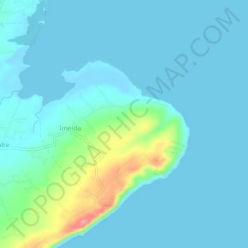
Name: Imelda topographic map, elevation, terrain.
Location: Imelda, San Juan, Batangas, Calabarzon, 4226, Philippines (13.67023 121.43125 13.71023 121.47125)
Average elevation: 62 ft
Minimum elevation: -10 ft
Maximum elevation: 325 ft