
Cerro la Bomba topographic map
Interactive map
Click on the map to display elevation.
About this map
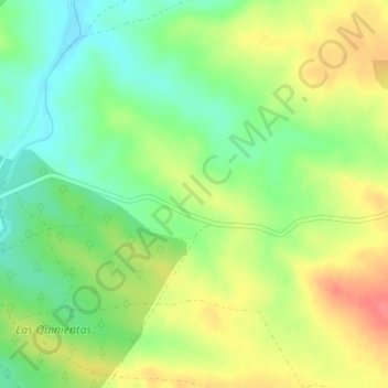
Name: Cerro la Bomba topographic map, elevation, terrain.
Location: Cerro la Bomba, Berlanga, Badajoz, Extremadura, España (38.27777 -5.80938 38.29777 -5.78938)
Average elevation: 1,850 ft
Minimum elevation: 1,752 ft
Maximum elevation: 1,969 ft