
Dąb im. cesarza Wilhelma II Hohenzollerna topographic map
Interactive map
Click on the map to display elevation.
About this map
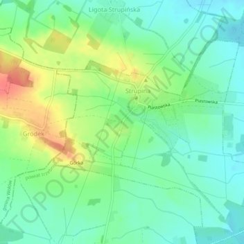
Name: Dąb im. cesarza Wilhelma II Hohenzollerna topographic map, elevation, terrain.
Average elevation: 449 ft
Minimum elevation: 377 ft
Maximum elevation: 584 ft