
Whiting Peak topographic map
Interactive map
Click on the map to display elevation.
About this map
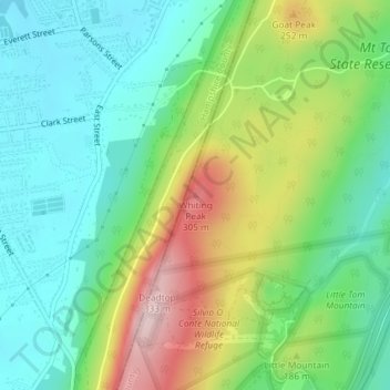
Name: Whiting Peak topographic map, elevation, terrain.
Location: Whiting Peak, Holyoke, Hampshire, Massachusetts, 01027, USA (42.25976 -72.64042 42.25986 -72.64032)
Average elevation: 463 ft
Minimum elevation: 131 ft
Maximum elevation: 1,106 ft