
Thank you for supporting this site ❤️
Make a donation
Make a donation
Gear up for your next adventure:
As an Amazon Associate, this site earns from qualifying purchases at no extra cost to you.
Remada topographic map
Click on the map to display elevation.
Thank you for supporting this site ❤️
Make a donation
Make a donation
Gear up for your next adventure:
As an Amazon Associate, this site earns from qualifying purchases at no extra cost to you.
About this map
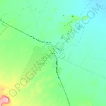
Name: Remada topographic map, elevation, terrain.
Location: Remada, رمادة الشرقية, معتمدية رمادة, Tataouine, 3240, Tunisia (32.27465 10.35870 32.35465 10.43870)
Average elevation: 968 ft
Minimum elevation: 820 ft
Maximum elevation: 1,411 ft
Thank you for supporting this site ❤️
Make a donation
Make a donation
Gear up for your next adventure:
As an Amazon Associate, this site earns from qualifying purchases at no extra cost to you.