
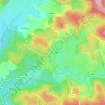
Le Soulié Bas topographic map
Interactive map
Click on the map to display elevation.
About this map
Name: Le Soulié Bas topographic map, elevation, terrain.
Average elevation: 2,933 ft
Minimum elevation: 2,684 ft
Maximum elevation: 3,327 ft
Other topographic maps
Click on a map to view its topography, its elevation and its terrain.