
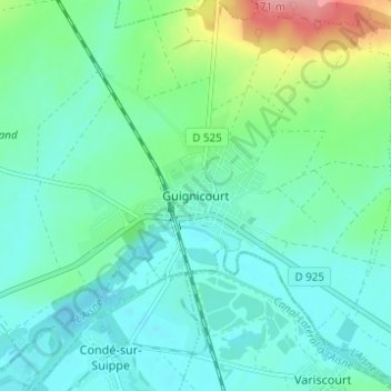
Guignicourt topographic map
Interactive map
Click on the map to display elevation.
About this map
Name: Guignicourt topographic map, elevation, terrain.
Average elevation: 240 ft
Minimum elevation: 164 ft
Maximum elevation: 502 ft
La superficie de la commune est de 1 774 hectares ; son altitude varie de 51 à 142 mètres.