
Maclear (Nqanqarhu) topographic map
Interactive map
Click on the map to display elevation.
About this map
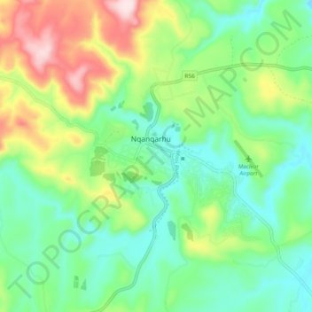
Name: Maclear (Nqanqarhu) topographic map, elevation, terrain.
Average elevation: 4,400 ft
Minimum elevation: 4,019 ft
Maximum elevation: 5,190 ft