
Río Tigua topographic map
Interactive map
Click on the map to display elevation.
About this map
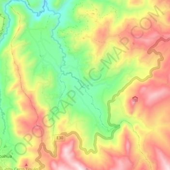
Name: Río Tigua topographic map, elevation, terrain.
Location: Río Tigua, Zumbahua, Pujilí, Cotopaxi, Ecuador (-0.96739 -78.87913 -0.89318 -78.83234)
Average elevation: 11,890 ft
Minimum elevation: 10,633 ft
Maximum elevation: 13,297 ft