Sangre de Cristo topographic map
Interactive map
Click on the map to display elevation.
About this map
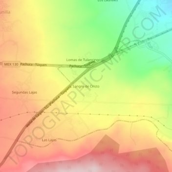
Name: Sangre de Cristo topographic map, elevation, terrain.
Average elevation: 7,917 ft
Minimum elevation: 7,362 ft
Maximum elevation: 8,363 ft

Click on the map to display elevation.
Name: Sangre de Cristo topographic map, elevation, terrain.
Average elevation: 7,917 ft
Minimum elevation: 7,362 ft
Maximum elevation: 8,363 ft