
Lotissement Les Jardins du Vignau topographic map
Interactive map
Click on the map to display elevation.
About this map
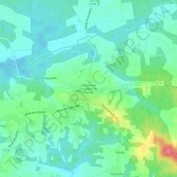
Name: Lotissement Les Jardins du Vignau topographic map, elevation, terrain.
Average elevation: 89 ft
Minimum elevation: 20 ft
Maximum elevation: 285 ft
Other topographic maps
Click on a map to view its topography, its elevation and its terrain.
Lotissement du Bourg
France > Nouvelle-Aquitaine > Landes > Saubrigues > Lotissement du Bourg
Lotissement du Bourg, Saubrigues, Arrondissement de Dax, Landes, Nouvelle-Aquitaine, France métropolitaine, 40230, France
Average elevation: 89 ft