
Fr topographic map
Interactive map
Click on the map to display elevation.
About this map
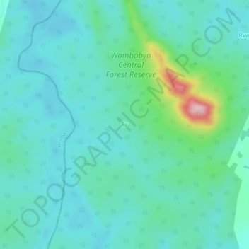
Name: Fr topographic map, elevation, terrain.
Location: Fr, Kikuube, Western Region, Ouganda (1.42307 31.11916 1.46307 31.15916)
Average elevation: 3,474 ft
Minimum elevation: 3,330 ft
Maximum elevation: 4,114 ft