
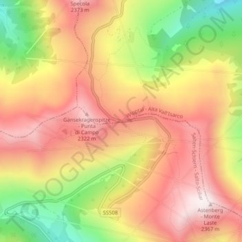
Penser Joch topographic map
Interactive map
Click on the map to display elevation.
About this map
Name: Penser Joch topographic map, elevation, terrain.
Average elevation: 6,742 ft
Minimum elevation: 5,384 ft
Maximum elevation: 7,733 ft
Auf der Passhöhe steht das Gasthaus Alpenrosenhof.