Neustadt/Süd topographic map
Interactive map
Click on the map to display elevation.
About this map
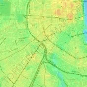
Name: Neustadt/Süd topographic map, elevation, terrain.
Average elevation: 180 ft
Minimum elevation: 121 ft
Maximum elevation: 213 ft

Click on the map to display elevation.
Name: Neustadt/Süd topographic map, elevation, terrain.
Average elevation: 180 ft
Minimum elevation: 121 ft
Maximum elevation: 213 ft