
Ighil Oughlad topographic map
Interactive map
Click on the map to display elevation.
About this map
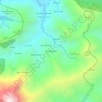
Name: Ighil Oughlad topographic map, elevation, terrain.
Location: Ighil Oughlad, Larbaâ, Babor, Daïra Babor, Sétif, Algérie (36.54192 5.47661 36.58192 5.51661)
Average elevation: 3,238 ft
Minimum elevation: 1,946 ft
Maximum elevation: 6,184 ft