
Province of Ferreñafe topographic map
Interactive map
Click on the map to display elevation.
About this map
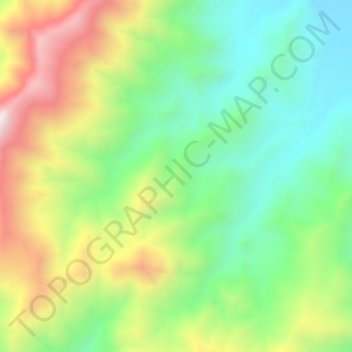
Name: Province of Ferreñafe topographic map, elevation, terrain.
Location: Province of Ferreñafe, Pítipo, Ferreñafe, Lambayeque, Peru (-6.46712 -79.52704 -6.42712 -79.48704)
Average elevation: 2,008 ft
Minimum elevation: 935 ft
Maximum elevation: 3,704 ft