
Luleå topographic map
Interactive map
Click on the map to display elevation.
About this map
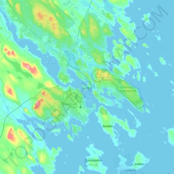
Name: Luleå topographic map, elevation, terrain.
Location: Luleå, Luleå kommun, Norrbottens län, Norrland, 971 28, Svezia (65.42312 21.98595 65.74312 22.30595)
Average elevation: 36 ft
Minimum elevation: -10 ft
Maximum elevation: 456 ft