
Llanaelhaearn topographic map
Interactive map
Click on the map to display elevation.
About this map
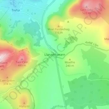
Name: Llanaelhaearn topographic map, elevation, terrain.
Location: Llanaelhaearn, Gwynedd, Wales, LL54 5AP, United Kingdom (52.95677 -4.42287 52.99677 -4.38287)
Average elevation: 653 ft
Minimum elevation: 30 ft
Maximum elevation: 1,821 ft