
Wilskerke topographic map
Interactive map
Click on the map to display elevation.
About this map
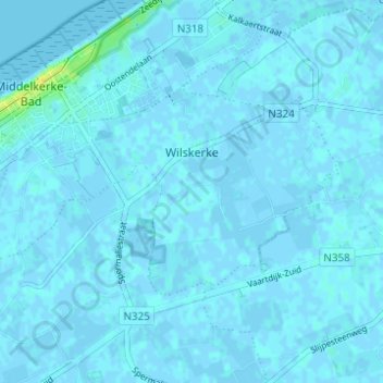
Name: Wilskerke topographic map, elevation, terrain.
Average elevation: 3 ft
Minimum elevation: -13 ft
Maximum elevation: 52 ft
Other topographic maps
Click on a map to view its topography, its elevation and its terrain.
Slijpe
België > Vlaanderen > Middelkerke
Slijpe, Middelkerke, West-Vlaanderen, Vlaanderen, 8433, België
Average elevation: 3 ft