
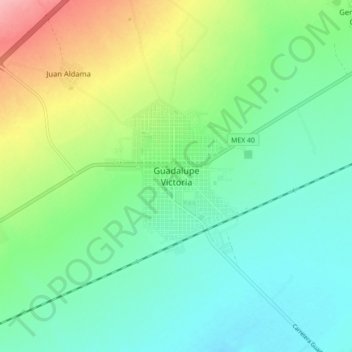
Guadalupe Victoria topographic map
Interactive map
Click on the map to display elevation.
About this map
Name: Guadalupe Victoria topographic map, elevation, terrain.
Location: Guadalupe Victoria, Durango, México (24.40416 -104.16163 24.48416 -104.08163)
Average elevation: 6,578 ft
Minimum elevation: 6,463 ft
Maximum elevation: 6,847 ft