
Kaleönü topographic map
Interactive map
Click on the map to display elevation.
About this map
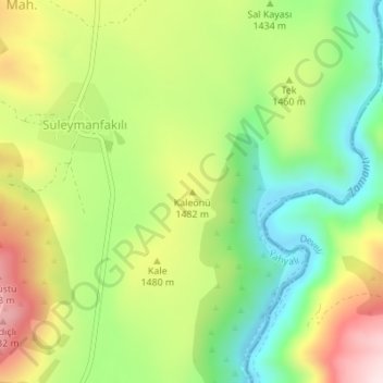
Name: Kaleönü topographic map, elevation, terrain.
Location: Kaleönü, Yahyalı, Kayseri, İç Anadolu Bölgesi, Turquie (38.16282 35.56757 38.16292 35.56767)
Average elevation: 4,721 ft
Minimum elevation: 4,140 ft
Maximum elevation: 5,479 ft
Other topographic maps
Click on a map to view its topography, its elevation and its terrain.