
Ouled Aissa topographic map
Interactive map
Click on the map to display elevation.
About this map
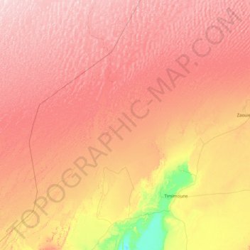
Name: Ouled Aissa topographic map, elevation, terrain.
Location: Ouled Aissa, Daïra de Charouine, Timimoune, Algérie (28.96347 -0.62757 30.32312 0.29065)
Average elevation: 1,306 ft
Minimum elevation: 558 ft
Maximum elevation: 1,952 ft