
Ashby de la Zouch Canal topographic map
Interactive map
Click on the map to display elevation.
About this map
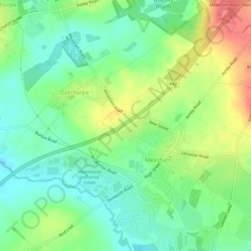
Name: Ashby de la Zouch Canal topographic map, elevation, terrain.
Average elevation: 318 ft
Minimum elevation: 233 ft
Maximum elevation: 453 ft