
Flasher topographic map
Interactive map
Click on the map to display elevation.
About this map
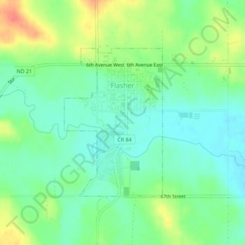
Name: Flasher topographic map, elevation, terrain.
Location: Flasher, Morton County, North Dakota, 58535, United States (46.44388 -101.24196 46.46020 -101.22622)
Average elevation: 1,952 ft
Minimum elevation: 1,890 ft
Maximum elevation: 2,057 ft